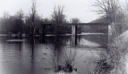
Photo: Courtesy of Jay Hodshon.
The above photo, from the 1950's, is of the rail bridge across the Wanaque River. This bridge can be seen in photos from the Hagley Collection and was used to carry plant trolley cars across the river. The above view also shows the river as being wider. This was the result of Lake Inez just a little further downstream. The dam creating the lake also caused the river to back up as far as the area of Ringwood Avenue.
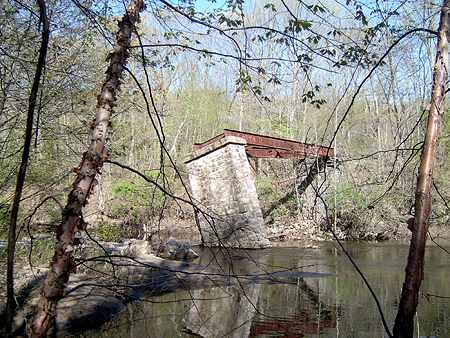
Photo: Unofficial.Net (5/2007).
AS this recent photo shows, the bridge is slowly falling over. Only two of the stone supports remain.
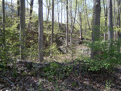
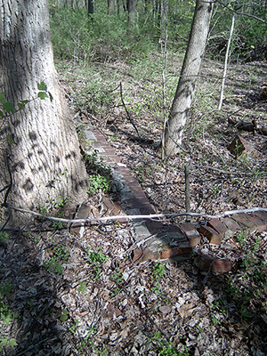
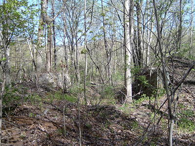
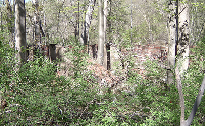
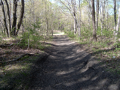
Below is a series fo photos taken during May, 2007. These are from a wooded area located between Back Beach Park and the Route 287 overpass and on the west side of the Wanaque River. The ruins are stone, brick and concrete and are barely discernable through the trees and brush.
|